
A waterside walk with a clear finish
A Costanera afternoon: music landmarks and a sunset pause
Checked 15 October 2026
Save three points for a late-afternoon walk along the bay: the General Santos junction, the harp monument, and Turista Róga with Paseo de la Guarania. The mapped connections total about 2.6 km, leaving room for music landmarks, photographs and a sunset pause near the finish. Choose the date before setting the start time, confirm the day's pedestrian access and arrange the return journey. This is a suggested self-arranged outing, with a shorter version if heat or access changes the plan.
Plan around your date's sunset
- Before leaving: confirm open pedestrian sections and permitted arrival/pickup points. Current event restrictions can override this route.
- About 2½–3 hours before local sunset: start on the permitted city-side approach to General Santos and the Costanera; the junction pin is for orientation, not a place to stand in traffic.
- Walk about 900 m to the harp monument, allowing 15–20 minutes. Leave another 15–20 minutes for looking and photographs.
- Continue about 1.7 km toward Turista Róga/Paseo de la Guarania, allowing 30–40 minutes plus pauses. Confirm terrace access if you want to enter.
- Be near the final permitted bay-view spot 20–30 minutes before sunset. Stay for sunset only with a confirmed short exit and ready return transport; otherwise finish earlier.
Check access before making this the day's plan
The 14 October municipal notice concerned vehicle restrictions on 15, 17 and 18 October. Those dates are historical. They do not establish today’s closures or pedestrian permission. Check newer municipal instructions, permitted entrances and pickup points, and follow staff and barriers.
Start at the General Santos approach
Use Av. General Máximo Santos and Av. Costanera José Asunción Flores as the arrival reference. Confirm a permitted city-side drop-off with your driver; a roundabout or carriageway is not a waiting area. If restrictions prevent access, change the starting point before travelling.
The checked walking connection to the harp monument is about 900 m, with a 12-minute Google estimate. Allow 15–20 minutes for crossings and orientation. Use the permitted pedestrian path and keep out of cycle lanes. These map distances are planning estimates, not an on-site walk or an assurance about every crossing.
Pause at the harp monument
Save the named Monumento Arpa Paraguaya pin. Give the stop 15–20 minutes: look at the harp form, take a photograph if you want and leave room for conversation. SENATUR's cultural-route listing identifies the harp monument and Paseo de la Guarania as Costanera stops. Its organised tour is a separate product; its departure time and price do not apply to this self-arranged afternoon.
Continue toward Turista Róga along the permitted promenade. The checked connection is about 1.7 km, with Google's estimate around 22 minutes. Budget 30–40 minutes, plus any photo pauses. Turn back or stop if the usable path ends; do not treat the map line as permission through a closed section.
Finish near Turista Róga and Paseo de la Guarania
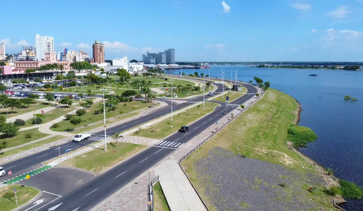
The municipality places Paseo de la Guarania on Turista Róga's terrace, as a tribute to composer José Asunción Flores. Its 2023 opening description includes a piano-shaped water instrument and a viewing device. Ask staff which features are accessible and functioning today; we have not verified current operation.
We found no current official visitor-hour calendar for the terrace. Confirm the opening for your date and arrival time, and any entry conditions. If it closes before your sunset window, visit it earlier or keep this as a final orientation landmark while using only a permitted public bay-view area. Do not enter a closed terrace or assume the tourism office's general hours describe every installation.
Choose the date, then the sunset window
Look up Asuncion, Paraguay and the actual visit date in the local sunrise and sunset calendar before agreeing on a start time. A sunset time for one day or another city is not a year-round schedule. This plan uses relative timing rather than a fixed clock time; its visit lengths are our planning suggestions.
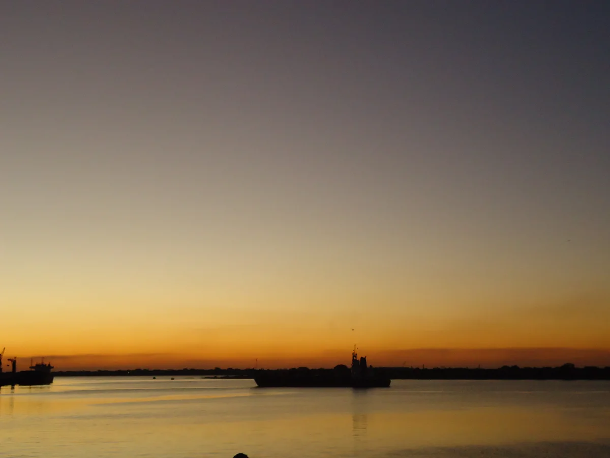
Near the finish, choose a currently permitted spot with a clear bay view and allow 20–30 minutes before the day's sunset for settling and photographs. Clouds and the visible horizon affect what you will see. The terrace is optional, and the photograph above does not predict the colors. Keep the final exit short and agreed in advance. If the route out, lighting or pickup cannot be confirmed, leave while there is still daylight instead of waiting for the sun to disappear.
Heat, rain and the return journey
The route has not been surveyed for continuous shade, step-free access or pavement quality. Bring water and sun protection, and shorten the walk for heat, fatigue or mobility. A shorter option is a confirmed arrival near Turista Róga and a permitted bay-view pause.
Check official weather alerts. Postpone the outdoor walk during storms or unsuitable heat. If travel is suitable, choose an independent indoor option from the rainy-day guide and confirm the actual opening and entry before leaving.
Agree on the final permitted city-side pickup near the Turista Róga landmark before leaving home. Coordinate it with the driver if event barriers change access; the map pins locate landmarks, not approved stopping bays. Use our transport guide, and budget transport and optional refreshments separately. We have not confirmed today's vendors, toilets, parking charges or a booking for this outing.
For a different day, compare the Palma-to-Puerto historic-centre walk. The community can help with practical local questions; this waterfront route remains an independent suggestion and depends on current public access.
Recovery follow-up, 27 October 2026: the landmark information and official weather-warning channel were checked. The 15–18 October traffic notices and October festival dates do not establish today’s access. No current terrace timetable, continuous accessible route, vendors or pickup permission was established.